


Canby W-1, Yellow Medicine County, Minnesota
About
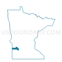
Outline

Summary
| Unique Area Identifier | 605003 |
| Name | Canby W-1 |
| County | Yellow Medicine County |
| State | Minnesota |
| Area (square miles) | 1.12 |
| Land Area (square miles) | 1.11 |
| Water Area (square miles) | 0.01 |
| % of Land Area | 99.32 |
| % of Water Area | 0.68 |
| Latitude of the Internal Point | 44.70806780 |
| Longtitude of the Internal Point | -96.26351440 |
Maps


Graphs
Select a template below for downloading or customizing gragh for Canby W-1, Yellow Medicine County, Minnesota


Neighbors
Neighoring Voting District (by Name) Neighboring Voting District on the Map
- Canby W-2, Yellow Medicine County, MN
- Hammer Twp. Voting District, Yellow Medicine County, MN
- Norman Twp. Voting District, Yellow Medicine County, MN
Top 10 Neighboring County Subdivision (by Population) Neighboring County Subdivision on the Map
- Canby city, Yellow Medicine County, MN (1,795)
- Norman township, Yellow Medicine County, MN (264)
- Hammer township, Yellow Medicine County, MN (196)